Ph.D. student
Department of Computer Science & Engineering
University of Minnesota
Email: lin00786@umn.edu
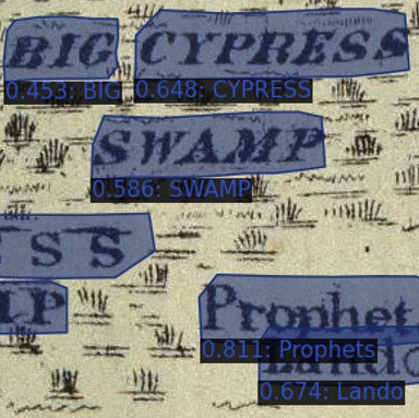
We propose a text spotter for historical maps (PALETTE), a syntheic map generation approach (SynthMap+), and a new map benchmark for evaluation (Rumsey-309). In PALETTE, we introduce hyper-local deformable transformer that learns localized reference points for multiple objects (boundary points and characters) in text spotting task. In SynthMap+, we leverage OpenStreetMap and QGIS to render location names and extract background pixels from real historical maps to generate syntheic map images. In Rumsey-309, there are 309 image patches from 54 maps of different visual styles, containing 13,000+ non-numeric text labels. [Paper]
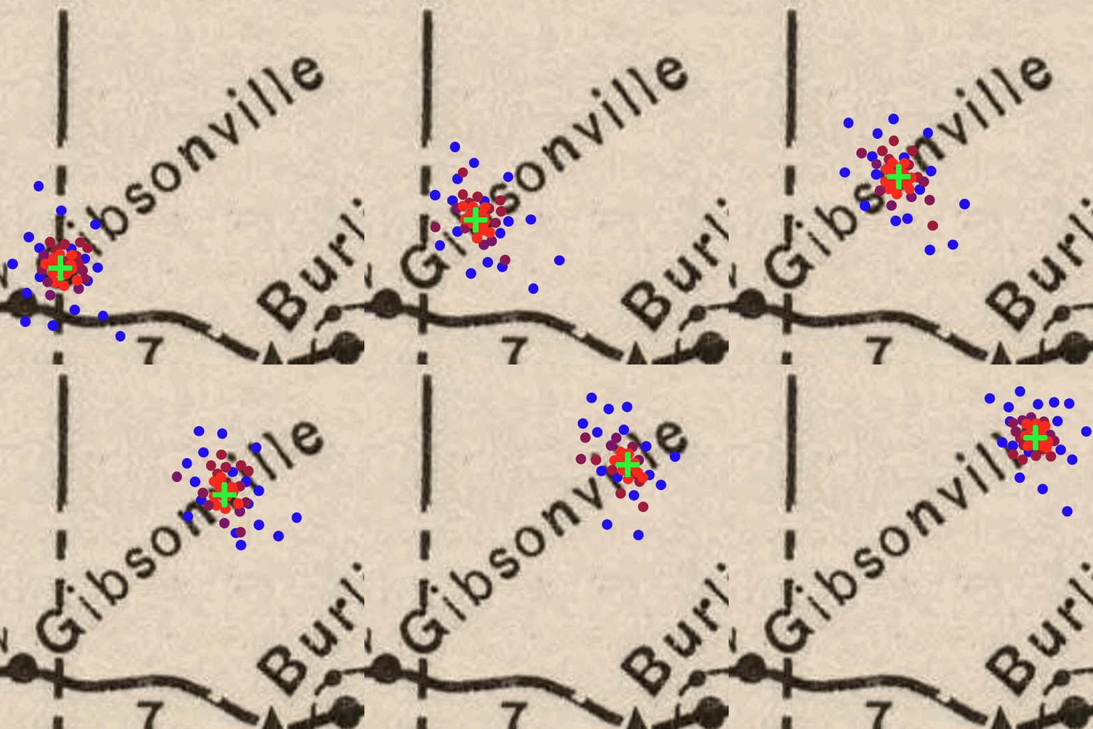
We propose a physics-guided neural network, SVPNet, for spatiotemporal predictive learning. The SVPNet learns effective physical representations by estimating the error evolution in physics states for correction and modeling spatially varying physical dynamics to predict future state. [Github] [Paper]
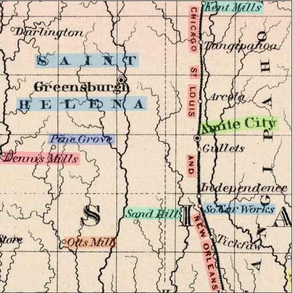
We build a pipeline that inputs large scanned historical maps and generates ready-to-use text labels. We adpot a state-of-the-art network architecture TESTR for detecting and recognizing (spotting) text labels on map tiles. Due to the lack of annotated samples for training, we create a set of synthetic maps to mimic the text styles (e.g., font, spacing, orientation) in the real historical maps. [Github] [Paper]
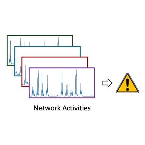
We propose a machine learning approach for predicting abnormal events from multiple multivariate time-series data. The method learns a separable embedding space for normal and abnormal activities by encouraging embeddings to form two clusters using contrastive learning and improves the separability of embeddings in a semi-supervised manner. [Github] [Paper]
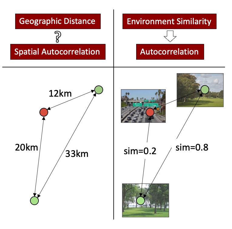
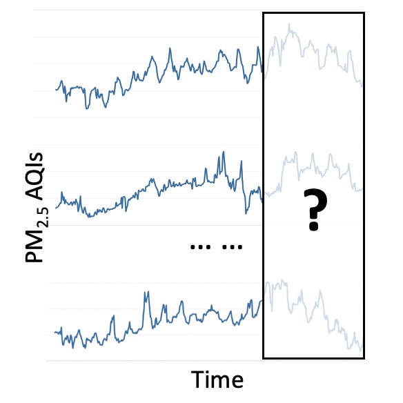
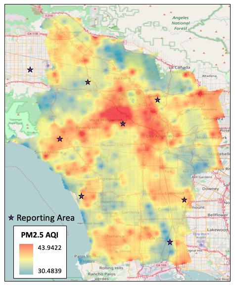
We propose DeepLATTE for fine-spatial-scale prediction on location-dependent time series data with an application of air quality prediction. The method learns a spatiotemporal representation from contextual data and labeled data and then refines the representation space by regularizing the autocorrelation pattern to guide the predictions. [Github] [Paper]
We propose a machine learning method for accurate air quality forecasting. The method constructs spatial correlation between two locations using the context of air quality-related environmental factors on a graph and builds a Geo-Context-based diffusion-convolutional recurrent neural network to jointly models spatial and temporal dependencies for air quality forecasting. [Paper]
We propose a method that automatically select important PM2.5-related geographic feature types (from publicly accessible data, OpenStreetMap) that determines the clustering pattern of PM2.5 time-series using random forest classification. Then the method adopts a regression model with the extracted features and PM2.5 observations from sparse monitoring stations for predicting PM2.5 concentrations at a fine spatial scale. [Github] [Paper]